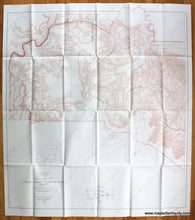
Antique-Printed-Color-Folding-Map-Topographic-Map-of-the-Grand-Canyon-National-Park-Arizona-United-States-West-1948-USGS-Maps-Of-Antiquity
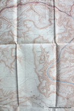
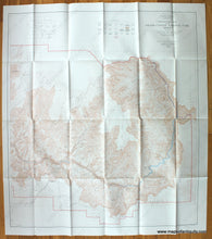
1948 - Topographic Map of the Grand Canyon National Park Arizona - Antique Map
  • Load image into Gallery viewer, Antique-Printed-Color-Folding-Map-Topographic-Map-of-the-Grand-Canyon-National-Park-Arizona-United-States-West-1948-USGS-Maps-Of-Antiquity
  • Load image into Gallery viewer, 1948 - Topographic Map of the Grand Canyon National Park Arizona - Antique Map
  • Load image into Gallery viewer, 1948 - Topographic Map of the Grand Canyon National Park Arizona - Antique Map
  • Load image into Gallery viewer, 1948 - Topographic Map of the Grand Canyon National Park Arizona - Antique Map

1948 - Topographic Map of the Grand Canyon National Park Arizona - Antique Map

Regular price
$150.00
Sale price
$150.00
Regular price
Sold out
Unit price
per 
Shipping calculated at checkout.

Item number: WES250
Genuine Antique Printed Color Folding Map

1948

Maker: USGS.

Antique printed color set of two maps of the Grand Canyon National Park in Arizona published by the US Geological Survey in cooperation with the National Park Service. These maps were originally done in 1927 and then reprinted in 1948. One map shows the Eastern half of the park, and the other shows the Western half. Very good condition with folds as issued. The maps measure 42.25 x 37.5 and 42.25 x 38.75 inches to the neatlines.

Item Number: WES250