1899
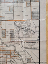
Maker: Rollandet Drafting and Blueprint Co.
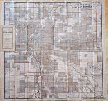
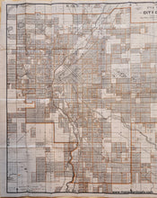
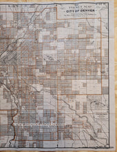
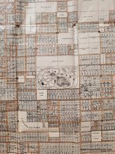
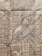
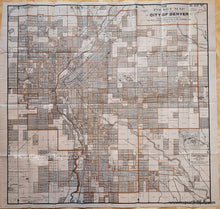
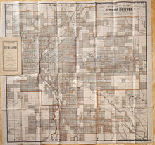
Antique folding map of Denver, Colorado showing city blocks, names of some property owners, and points of interest- e.g. parks, cemeteries, college campuses (e.g. Denver Ladies' College, St. John's College, etc.). This is the fifth edition of this map, produced by the Rollandet Drafting and Blueprint Co., 1899. Good antique condition with overall toning of the paper, as well as some small separations at the intersections of some of the folds. Could be archivally restored and backed for additional cost. Map measures approximately 27" x 27" to the neat line.
Item Number: TOW392


