Current hours: 10am to 5pm Monday through Saturday. 12pm to 5pm Sundays. IMPORTANT PLEASE NOTE: We have become aware that some of our photos have been stolen by other websites. Our maps are only available at our website www.mapsofantiquity.com or at our store!

Genuine-Antique-Folding-Map-Bartholomew's-Plan-of-London-1921-Bartholomew-Maps-Of-Antiquity
1921 - Bartholomew's Plan of London - Antique Map
  • Load image into Gallery viewer, Genuine-Antique-Folding-Map-Bartholomew's-Plan-of-London-1921-Bartholomew-Maps-Of-Antiquity
  • Load image into Gallery viewer, 1921 - Bartholomew's Plan of London - Antique Map
  • Load image into Gallery viewer, 1921 - Bartholomew's Plan of London - Antique Map
  • Load image into Gallery viewer, 1921 - Bartholomew's Plan of London - Antique Map
  • Load image into Gallery viewer, 1921 - Bartholomew's Plan of London - Antique Map
  • Load image into Gallery viewer, 1921 - Bartholomew's Plan of London - Antique Map
  • Load image into Gallery viewer, 1921 - Bartholomew's Plan of London - Antique Map

1921 - Bartholomew's Plan of London - Antique Map

Regular price
$135.00
Sale price
$135.00
Regular price
Sold out
Unit price
per 
Shipping calculated at checkout.

Item number: TOW720
Genuine Antique Folding Map

1921

Maker: Bartholomew

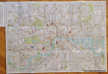
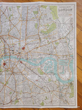
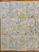
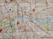
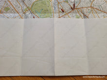
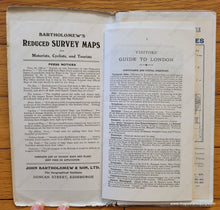
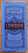
Antique folding map of London by John Bartholomew & Son, Ltd., 1921. This handsome colored map is mounted on cloth and comes with an index to the streets and a visitor's guide. The map itself is not dated, but the booklet it is attached to has an advertisement for a map of Europe showing the "results of the Great War... with inset map shoing Boundaries in 1914... Then and Now! 1914 and 1921!" Shows streets, parks, notable buildings, railroads, underground railways, etc. The plan is divided into 1/2 mile squares from St Pauls. Areas such as Chelsea, Westminster, and Southwark are labeled in large outlined letters. With folds as issued. Can be removed from the booklet for framing by separating the back cover of the booklet from the rest. Very good condition with some wear on the booklet cover, but the map itself is in excellent condition with minimal signs of age. Measures approx. 22.5 x 32.25 inches to the neatline.

Item Number: TOW720