1930s
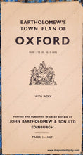
Maker: John Bartholomew & Son ltd
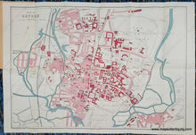
Antique folding city map of Oxford, England, published by John Bartholomew & Son Ltd, 1930s. This map is undated but believed to be from the 1930s. Printed color. Shows the Oxford University buildings with many college and public buildings labeled. Very good condition with folds as issues and some very minor wrinkles/creases. Measures approx. 14.25 x 20.5 inches to the neatline.
Item Number: TOW803


