Pickup available at 1409 MAIN ST, CHATHAM MA
Usually ready in 24 hours
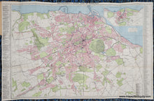
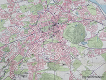
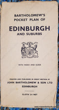
1930s - Bartholomew's Pocket Plan of Edinburgh - Antique Map
-
1409 MAIN ST, CHATHAM MA
Pickup available, usually ready in 24 hours1409 Main Street
Chatham MA 02633
United States+15089451660
1930s
Maker: John Bartholomew & Son ltd
Antique folding city map of Edinburgh, Scotland, published by John Bartholomew & Son Ltd, 1930s. This map is undated but believed to be from the 1930s. Printed color. Shows roads with parks, gold courses, hills, public buildings, and other notable features labeled. Text on the sides lists places of interest and principal streets. Very good condition with folds as issues and some minor wear along the folds and fold intersections. Backed on cloth. Measures approx. 22.5 x 32.25 inches to the neatline.
Item Number: TOW805


