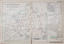
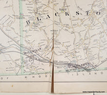
Genuine Antique Hand-Colored Map
1898
Maker: Richards.
Antique map from the New Topographical Atlas of the County of Worcester Massachusetts, by Richards, 1898. Includes property owners' names. Overall fair condition, with a tear at the bottom that can be repaired. Measures approx. 21 x 31 inches. Price has been reduced based on condition.
Genuine Antique Map from 1898
Item Number: MAS1251


