1927
Maker: Canadian National Railway.
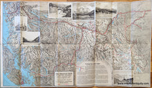
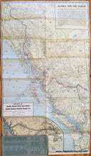
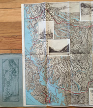
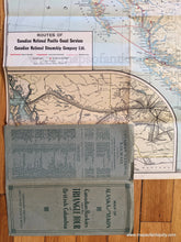
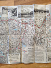
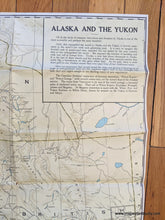
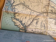
Antique printed color folding map of Alaska and the Yukon, published by the Canadian National Railway, 1927. This map is double-sided. On one side is a handsome pictorial map of the Triangle Tour of British Columbia including Jasper National Park, Mount Robson Park, Canadian Rockies and the Scenic Seas of the North Pacific Coast. It includes some incredible lithographed views from the parks. The other side is a map of Alaska and the Yukon with steamship lines and an inset map showing railroad lines from Edmonton to the coast. This map includes Vancouver, Prince Rupert, Skagway, and Dawson. This map comes attached to its original paper booklet cover. Interior of the booklet has a small map showing the Grand Trunk Railway System. Good to very good antique condition with some wear along the folds includin separations where the folds intersect. Some toning mostly on the inset map on the Alaksa and Yukon side. Measures approx. 17.5 x 30 inches.
Item Number: NAM269


