1888
Maker: Tunison.
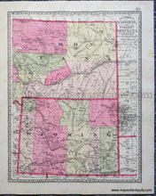
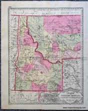
Antique double-sided sheet from Tunison's Peerless Universal Atlas of the World, c. 1888 by H.C. Tunison. On one side is a map of Wyoming with the eastern half of Montana, on the other side is a map of Idaho with the western half of Montana. Both maps are colored by county with early county configurations. At this time, according to the atlas index, Montana, Idaho, and Wyoming were all territories. Vibrant original color. Fair to good antique condition with some minor foxing, stains, and smudges, and some small wrinkles. The strike on some pages in this atlas is a bit faint. Measures approx. 14 x 11 inches to the paper edges.
Item Number: WES396


