1905
Maker: Scarborough Company.
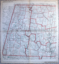
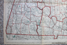
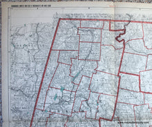
Antique folding road map of Western Mass. published by the Scarborough Company, 1905, in Scarborough's Complete Road Atlas of Massachusetts and Rhode Island. This large map shows town lines, railroads, roads, villages, bodies of water, notable places, and more. Towns include: Adams, Alford, Becket, Cheshire, Clarksburg, Dalton, Egremont, Florida, Great Barrington, Hancock, Hinsdale, Lanesborough, Lee, Lenox, Monterey, Mt. Washington, New Ashford, New Marlborough, North Adams, Otis, Peru, Pittsfield, Richmond, Sandisfield, Savoy, Sheffield, Stockbridge, Tyringham, Washington, West Stockbridge, Williamstown, Windsor, Agawam, Blandford, Chester, Chicopee, East Longmeadow, Granville, Holyoke, Longmeadow, Montgomery, Russell, Southwick, Springfield, Tolland, West Springfield, Westfield, Amherst, Chesterfield, Cummington, Easthampton, Goshen, Granby, Hadley, Hatfield, Huntington, Middlefield, Northampton, Pelham, Plainfield, South Hadley, Southampton, Ware, Westhampton, Williamsburg, Worthington, Ashfield, Bernardston, Buckland, Charlemont, Colrain, Conway, Deerfield, Gill, Greenfield, Hawley, Heath, Leverett, Leyden, Monroe, Montague, Northfield, Rowe, Shelburne, Sunderland, Turners Falls, Warwick, and Whately. Good to very good antique condition with some toning along the edges and along the folds. Folded in quadrants with some wear along the folds and tears at the folds in the margins. Measures approx. 29 x 26.5 inches to the neatline.
Item Number: MAS2222


