Genuine Antique Hand Colored Map
1879
Maker: Walker.
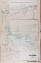
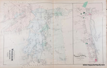
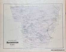
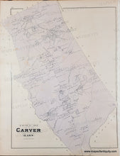
Antique page of maps from the Atlas of Plymouth County, MA, 1879, by Walker. Centerfold shows the towns of Wareham and Marion and Village of Wareham Narrows, showing property owners, named streets, schools, churches, railroads, inlets, coves, harbors, islands, Buzzards Bay and Buttermilk Bay; versos display Towns of Rochester and Carver. Very good condition, even toning, slight waviness of the antique paper. Larger map measures approx. 25.5 x 16 inches.
Genuine Antique Map from 1879
Item Number: MAS1507


