1942
Maker: Victor Drake
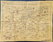
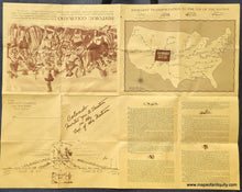
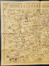
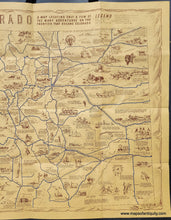
Old map of Colorado by Victor Drake, 1942, published by the Hospitality Committee of Denver and distribued as an invitation to tourism. This map features plentiful illustrations and historical informatiou throughout, with text on the back as well. Blue highways connect the major areas of interest. Also shows trails, rivers, forts, overland stage routes, railroads, the continental divide, and more. As with many antique maps, this map may not depict or describe Native Americans in a way that we now consider polite, although this map seems to be generally fair. With folds as issued. Very good original condition with mild wear along the folds. Measures approx. 17 x 22 inches to the paper edge.
Item Number: WES474


