1848
Maker: Goodrich.
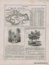
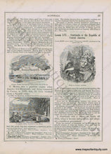
Antique early printed color outlined two-sided page from A National Geography for Schools written by S.G. Goodrich and published by Huntington and Savage in 1848, including engravings of Ruins in Central America, Ancient Temple destroyed by Cortez in the City of Mexico, Europeans cutting Logwood in the Balize, Cultivating the Sugar Cane, and The Cocao or Chocolate Tree, with text and tables describing the region, etc. In very good antique condition with minor toning, foxing and general signs of age, page measures approximately 10.5 x 8.5 inches.
Item Number: CAR071


